Keep up to date with roading upgrades
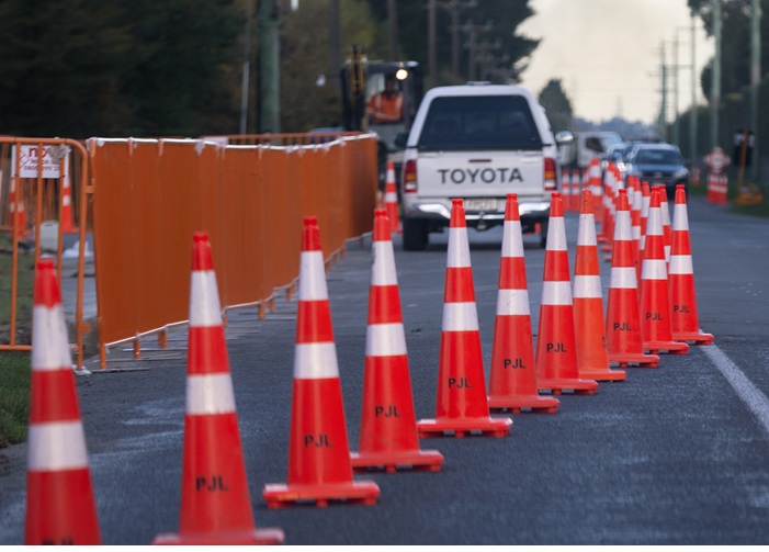
It’s now easier to stay informed on existing and upcoming roadworks, with the launch of our updated roadworks maps.
As Selwyn grows and the Council increases our investment into roads, we are seeing more roadworks to keep the roads functioning well. We want to make sure it’s as easy as possible to keep up to date with what’s happening and what’s coming up in your area.
The new maps, available at selwyn.govt.nz/roadworks, show current road closures and planned upcoming works. This includes projects such as resealing, renewals, and other scheduled maintenance activities that may cause temporary traffic changes.
The map of planned works shows the locations, dates of how long they are expected to run for, and the contractor doing the work.
Roadworks are colour-coded to give a quick overview of how they may affect your travel plans, with green showing a low traffic impact (shoulder closures, reduced speeds, both lanes still open), orange for moderate impacts (one lane closed, manual traffic control and similar) and red showing where there will be road closures or no-entry around works.
In Selwyn, we maintain about 2,700 kilometres of roads including about 1,000 kilometres of gravel roads. In the current Long-Term Plan we increased our road maintenance budget with over $80 million for roading maintenance in the first three years. This additional maintenance has resulted in 2,000 fewer potholes on our roads.
Last modified: 15 Aug 2025 10:40am